

Updated Feb 18, 2026
KEY STATS
7.7M
Population
2,672 km2
Area
309 Mbps
Internet
154m
Elevation
UTC−05:00
Timezone
LIM (10km)
Airport
OVERVIEW
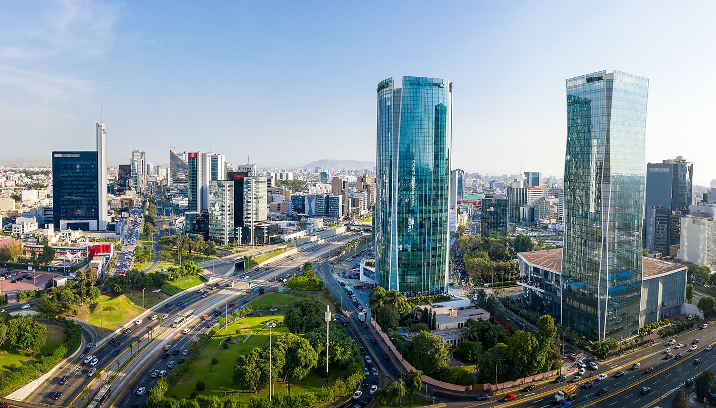
Lima is the capital and largest city of Peru. It is located in the valleys of the Chillón, Rímac and Lurín Rivers, in the desert zone of the central coastal part of the country, overlooking the Pacific Ocean. The city is considered the political, cultural, financial and commercial center of Peru. Due to its geostrategic importance, the Globaliza...
QUICK FACTS
Country
Peru
Region
South America
Population
7.7M
Timezone
UTC−05:00
Elevation
154 m
Currency
PEN
Language
Aymara
Status
Capital City
Airport
LIM
GPS
-12.04, -77.03
DROPTHE_ GOSSIP
Food
4,150 restaurants mapped in Lima
Tech
309 Mbps average download — faster than most capital cities worldwide
Travel
LIM airport just 10 km from the city center
INFRASTRUCTURE
40,520 total POIs 15.2 per km²
Above avg per capita
Average
Below avg
Food & Drink
Restaurants
4,150
Cafes
503
Bars
199
Fast Food
672
Shopping
Supermarkets
255
Convenience
1,617
Shopping Malls
321
Healthcare
Hospitals
95
Clinics
1,503
Pharmacies
1,877
Education
Schools
8,094
Universities
351
Libraries
54
Recreation
Parks
8,328
Playgrounds
229
Sports
2,127
Cinemas
51
Museums
103
Theatres
93
Transport
Bus Stops
1,723
Train Stations
31
Fuel Stations
529
Services
Banks
958
ATMs
235
Post Offices
96
Police
262
Fire Stations
39
Source: DropThe Database | dropthe.org
INTERNET SPEED
309 Mbps
Download
276 Mbps
Upload
6ms
Latency
341,647
Tests
117,210
Devices
2025-Q4
Last updated
CLIMATE
Best time to visit: Apr - Oct
16°
J
16°
F
17°
M
19°
A
21°
M
22°
J
22°
J
22°
A
21°
S
19°
O
17°
N
16°
D
18-28 C ideal
Warm/Cool
Extreme
Year avg: 19 C Range: 22.4 - 15.6 C Rain: 40 mm/year Sunshine: 3,615 h/year
CITY SCORES
86.3
Nomad Index
A
Livability
37.5
Culture
61.9
Overall
AIRPORT
LIM
Jorge Chávez International Airport
10 km from center
Very close — ~15 min ride
FUN FACTS
Lima is the capital and largest city of Peru.
It is located in the valleys of the Chillón, Rímac and Lurín Rivers, in the desert zone of the central coastal part of the country, overlooking the Pacific Ocean.
The Lima Metropolitan Area, which forms a contiguous urban area with the seaside city of Callao, has a population of 10,151,200 inhabitants.
When considering the additional 6 districts contained in the Constitutional Province of Callao, the total agglomeration reaches a population of 11,342,100 inhabitants, one of the most populated urban agglomerations in the world.
It became the capital and most important city in the Viceroyalty of Peru.
EXTERNAL LINKS
FREQUENTLY ASKED QUESTIONS
What is Lima known for?
Lima is a city in Peru. It offers a range of cultural, historical, and natural attractions.
How fast is the internet in Lima?
Lima has an average download speed of 309 Mbps and upload speed of 276 Mbps, based on Ookla speed test data.
What is the weather like in Lima?
Lima has an average year-round temperature of approximately 19 degrees Celsius.
What airport serves Lima?
Lima is served by LIM (Jorge Chávez International Airport), approximately 10 km from the city center.
What is the population of Lima?
The population of Lima is approximately 7.7M.
What infrastructure does Lima have?
Lima has 40,520 mapped points of interest, including 4,150 restaurants, 95 hospitals, 8,094 schools.
What country is Lima in?
Lima is located in Peru.