

Updated Jan 26, 2026
KEY STATS
1.5M
Population
6,361 km2
Area
241 Mbps
Internet
Indochina Time
Timezone
VCA (10km)
Airport
OVERVIEW
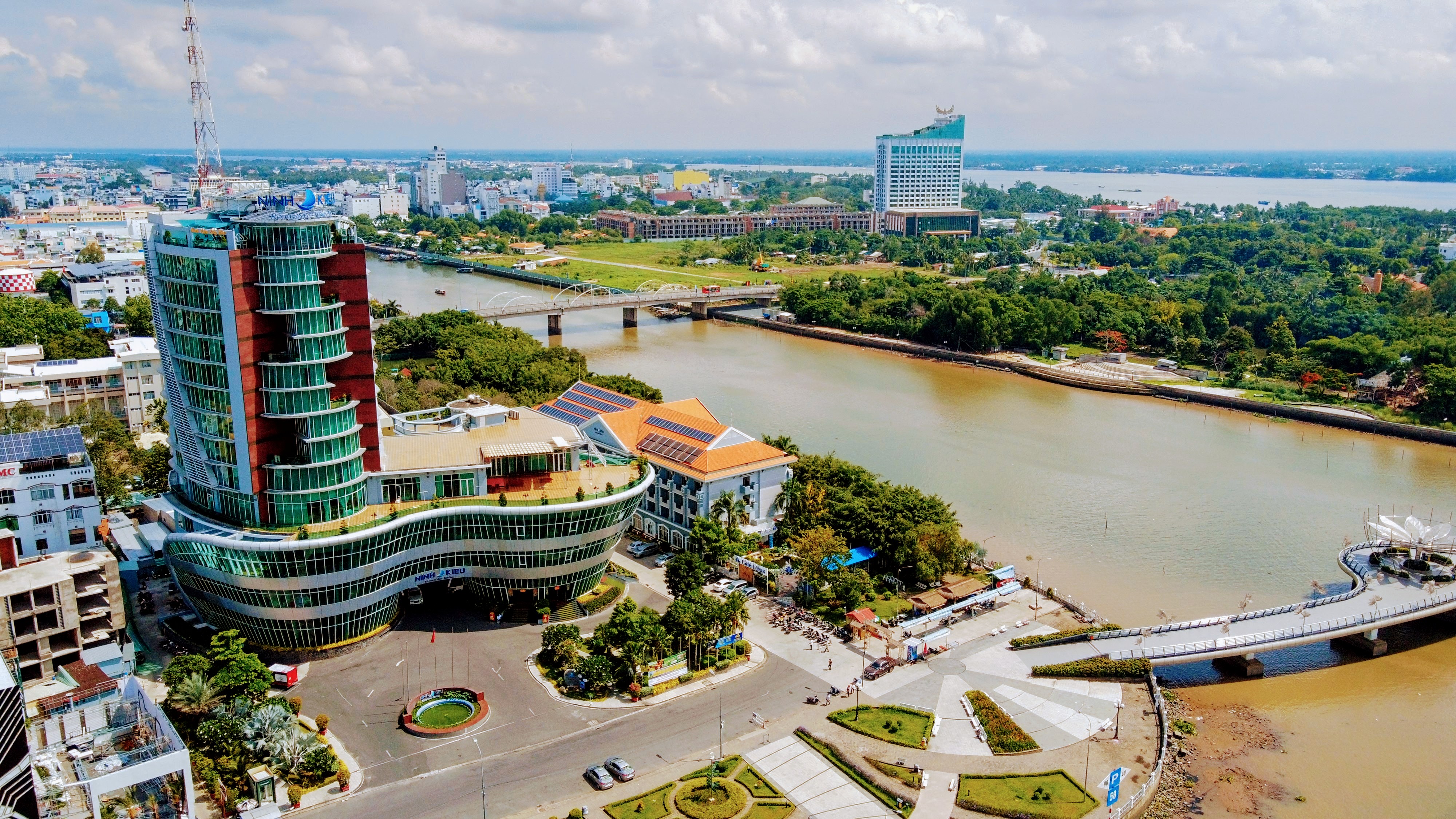
Vietnam's Mekong Delta hub, Cần Thơ captivates with floating markets at dawn and riverside cafes boasting solid Wi-Fi for nomads amid steamy tropical days. Fruit orchards and boat tours add flavor to balanced work-leisure rhythms.
QUICK FACTS
Country
Vietnam
Region
South-Eastern Asia
Population
1.5M
Timezone
Indochina Time
Currency
VND
Language
Vietnamese
Airport
VCA
GPS
10.04, 105.79
DROPTHE_ GOSSIP
Tech
241 Mbps average download — faster than most capital cities worldwide
History
Founded in 1789, with 237 years of history
Climate
Year-round average of 27C — near-ideal temperatures
INFRASTRUCTURE
3,114 total POIs 0.5 per km²
Above avg per capita
Average
Below avg
Food & Drink
Restaurants
301
Cafes
365
Bars
17
Fast Food
45
Shopping
Supermarkets
45
Convenience
46
Shopping Malls
17
Healthcare
Hospitals
58
Clinics
124
Pharmacies
147
Education
Schools
274
Universities
58
Libraries
5
Recreation
Parks
112
Playgrounds
4
Sports
65
Cinemas
5
Museums
4
Theatres
2
Transport
Bus Stops
586
Train Stations
3
Fuel Stations
80
Services
Banks
123
ATMs
67
Post Offices
10
Police
28
Fire Stations
4
Source: DropThe Database | dropthe.org
INTERNET SPEED
241 Mbps
Download
201 Mbps
Upload
6ms
Latency
38,398
Tests
10,194
Devices
2025-Q4
Last updated
CLIMATE
Best time to visit: Jan - Dec
27°
J
27°
F
27°
M
27°
A
27°
M
27°
J
27°
J
27°
A
27°
S
27°
O
27°
N
27°
D
18-28 C ideal
Warm/Cool
Extreme
Year avg: 27 C Range: 26.8 - 27.2 C Rain: 2,248 mm/year Sunshine: 3,288 h/year
CITY SCORES
90.4
Nomad Index
A
Livability
39.3
Culture
63.8
Overall
AIRPORT
VCA
Can Tho International Airport
10 km from center
Very close — ~15 min ride
FUN FACTS
Cần Thơ (Vietnamese pronunciation: [kə̀n tʰə̄ː] ) is the fourth-largest city in Vietnam, and the largest city along the Mekong Delta region in Vietnam.
It has a population of around 4,199,824 as of 2024, and is located on the south bank of the Hậu River, a distributary of the Mekong River.
The city is nicknamed the "Western Metropolis" (Tây Đô / 西都), and is located 169 kilometres (105 miles) from Hồ Chí Minh City.
History During the Vietnam War, Cần Thơ was the home of the ARVN IV Corps capital.
Following the merger, Cần Thơ covers 6,360.83 km2 and has a population of 4,199,824.
EXTERNAL LINKS
FREQUENTLY ASKED QUESTIONS
What is Cần Thơ known for?
Vietnam's Mekong Delta hub, Cần Thơ captivates with floating markets at dawn and riverside cafes boasting solid Wi-Fi for nomads amid steamy tropical days. Fruit orchards and boat tours add flavor to balanced work-leisure rhythms.
How fast is the internet in Cần Thơ?
Cần Thơ has an average download speed of 241 Mbps and upload speed of 201 Mbps, based on Ookla speed test data.
What is the weather like in Cần Thơ?
Cần Thơ has an average year-round temperature of approximately 27 degrees Celsius.
What airport serves Cần Thơ?
Cần Thơ is served by VCA (Can Tho International Airport), approximately 10 km from the city center.
What is the population of Cần Thơ?
The population of Cần Thơ is approximately 1.5M.
What infrastructure does Cần Thơ have?
Cần Thơ has 3,114 mapped points of interest, including 301 restaurants, 58 hospitals, 274 schools.
What country is Cần Thơ in?
Cần Thơ is located in Vietnam.