

Updated Feb 18, 2026
KEY STATS
1.1M
Population
765 km2
Area
112 Mbps
Internet
UTC+01:00
Timezone
ILR (8km)
Airport
OVERVIEW
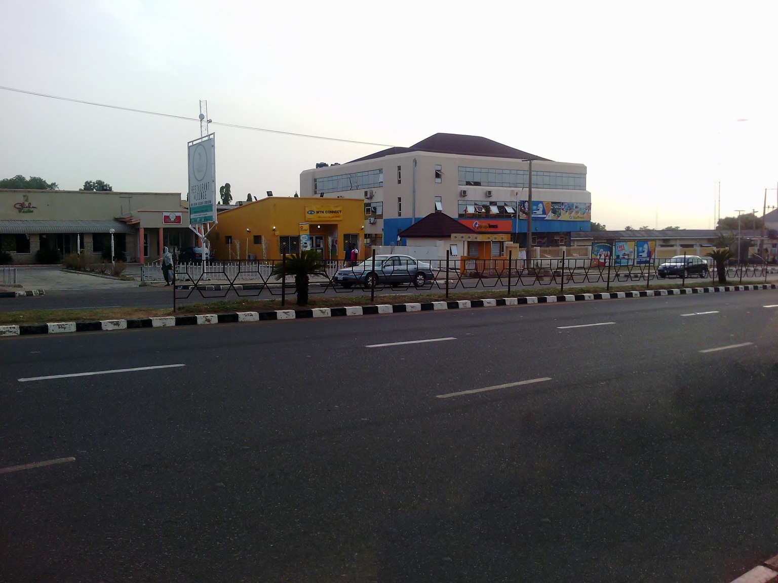
Ilorin bridges Yoruba and Fulani worlds at the confluence of vibrant mosques and bustling motor parks, offering digital nomads a quieter Nigerian base with solid connectivity and low costs. Its savanna climate brings dry harmattan winds ideal for focused work, punctuated by Ilorin Emirate festivals.
QUICK FACTS
Country
Nigeria
Region
Western Africa
Population
1.1M
Timezone
UTC+01:00
Currency
NGN
Language
English
Airport
ILR
GPS
8.50, 4.54
DROPTHE_ GOSSIP
Tech
Solid 112 Mbps internet — reliable for remote work and streaming
Travel
ILR airport just 8 km from the city center
Climate
Year-round average of 27C — near-ideal temperatures
INFRASTRUCTURE
413 total POIs 0.5 per km²
Above avg per capita
Average
Below avg
Food & Drink
Restaurants
22
Cafes
1
Bars
4
Fast Food
10
Shopping
Supermarkets
8
Convenience
1
Shopping Malls
10
Healthcare
Hospitals
24
Pharmacies
5
Education
Schools
45
Universities
7
Recreation
Parks
96
Sports
9
Museums
1
Transport
Bus Stops
13
Train Stations
2
Fuel Stations
18
Services
Banks
31
ATMs
1
Post Offices
2
Police
6
Source: DropThe Database | dropthe.org
INTERNET SPEED
112 Mbps
Download
27 Mbps
Upload
29ms
Latency
467
Tests
96
Devices
2025-Q4
Last updated
CLIMATE
Best time to visit: Mar - Nov
28°
J
28°
F
28°
M
27°
A
26°
M
26°
J
26°
J
26°
A
26°
S
27°
O
28°
N
28°
D
18-28 C ideal
Warm/Cool
Extreme
Year avg: 27 C Range: 28.3 - 25.7 C Rain: 676 mm/year Sunshine: 3,320 h/year
CITY SCORES
91.0
Nomad Index
A
Livability
37.5
Culture
62.8
Overall
AIRPORT
ILR
General Tunde Idiagbon International Airport
8 km from center
Very close — ~12 min ride
FUN FACTS
Ilorin () is the capital city of Kwara State located in the Western region of Nigeria.
Although Ilorin is classified under the North-Central geopolitical zone, the city is considered a Yoruba city by all historical and sociological standards.
History Ilorin was founded by the Yoruba, one of the three largest ethnic groups in Nigeria, in the late 18th century.
It became a provincial military headquarters within the Oyo Empire until 1817, when the local Kakanfo (field marshal) named Afonja rebelled, supported by the Hausa Shehu Alimi, an itinerant Islamic preacher and teacher.
The Oyo Empire and its Borgawa allies marched against Ilorin circa 1835, trying to reclaim its former glory, but were decisively defeated; this marked the end of Oyo.
EXTERNAL LINKS
FREQUENTLY ASKED QUESTIONS
What is Ilorin known for?
Ilorin bridges Yoruba and Fulani worlds at the confluence of vibrant mosques and bustling motor parks, offering digital nomads a quieter Nigerian base with solid connectivity and low costs. Its savanna climate brings dry harmattan winds ideal for focused work, punctuated by Ilorin Emirate festivals.
How fast is the internet in Ilorin?
Ilorin has an average download speed of 112 Mbps and upload speed of 27 Mbps, based on Ookla speed test data.
What is the weather like in Ilorin?
Ilorin has an average year-round temperature of approximately 27 degrees Celsius.
What airport serves Ilorin?
Ilorin is served by ILR (General Tunde Idiagbon International Airport), approximately 8 km from the city center.
What is the population of Ilorin?
The population of Ilorin is approximately 1.1M.
What infrastructure does Ilorin have?
Ilorin has 413 mapped points of interest, including 22 restaurants, 24 hospitals, 45 schools.
What country is Ilorin in?
Ilorin is located in Nigeria.