

Updated Feb 18, 2026
KEY STATS
950K
Population
557 km2
Area
67 Mbps
Internet
247m
Elevation
Africa/Lagos
Timezone
ENU (8km)
Airport
OVERVIEW
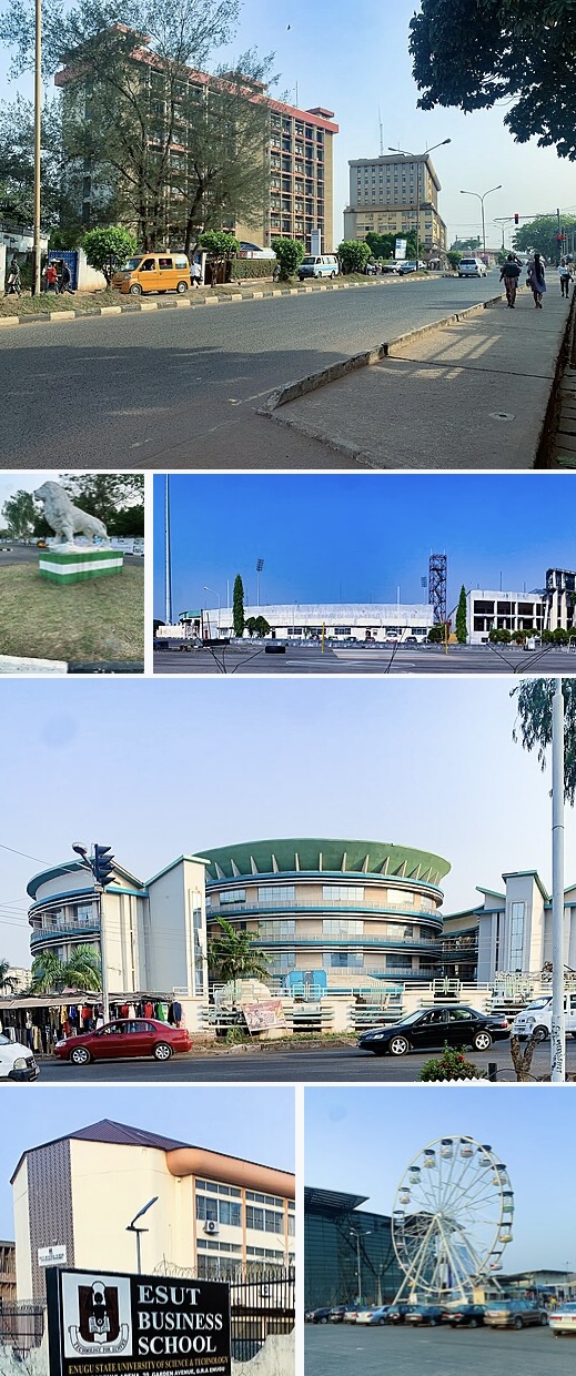
Coal city roots linger in Enugu’s hilly terrain, now alive with Nollywood studios and lush Awhum Monastery escapes. Remote workers tap into growing fiber optics and affordable rents, navigating tropical rains with resilient power solutions while savoring spicy ugba and ofe nsala in hilltop spots. Vibrant street life sparks unexpected collaborations.
QUICK FACTS
Country
Nigeria
Region
Western Africa
Population
950K
Timezone
Africa/Lagos
Elevation
247 m
Currency
NGN
Language
English
Airport
ENU
GPS
6.44, 7.50
DROPTHE_ GOSSIP
Tech
67 Mbps internet — adequate for most digital work
Travel
ENU airport just 8 km from the city center
Climate
Year-round average of 27C — near-ideal temperatures
INFRASTRUCTURE
690 total POIs 1.2 per km²
Above avg per capita
Average
Below avg
Food & Drink
Restaurants
60
Cafes
3
Bars
21
Fast Food
2
Shopping
Supermarkets
6
Convenience
963
Shopping Malls
4
Healthcare
Hospitals
37
Clinics
24
Pharmacies
42
Education
Schools
52
Universities
24
Libraries
2
Recreation
Parks
35
Playgrounds
843
Sports
8
Cinemas
13
Museums
2
Theatres
14
Transport
Bus Stops
25
Train Stations
1
Fuel Stations
13
Services
Banks
93
ATMs
6
Post Offices
4
Police
4
Fire Stations
2
Source: DropThe Database | dropthe.org
INTERNET SPEED
67 Mbps
Download
18 Mbps
Upload
34ms
Latency
584
Tests
163
Devices
2025-Q4
Last updated
CLIMATE
Best time to visit: Mar - Nov
29°
J
28°
F
28°
M
27°
A
26°
M
26°
J
26°
J
26°
A
26°
S
27°
O
28°
N
28°
D
18-28 C ideal
Warm/Cool
Extreme
Year avg: 27.2 C Range: 28.6 - 25.7 C Rain: 1,077 mm/year Sunshine: 3,203 h/year
CITY SCORES
90.9
Nomad Index
B
Livability
37.5
Culture
56.4
Overall
AIRPORT
ENU
Akanu Ibiam International Airport
8 km from center
Very close — ~12 min ride
FUN FACTS
The state takes its name from its capital and largest city, Enugu.
The city acquired township status in 1917 and was called Enugwu-Ngwo.
Of the 36 states, Enugu is the 29th largest in area and 22nd most populous with an estimated population of over 4.4 million as of 2016.
Other important geographical features are the Udi-Nsukka Plateau and Ekulu River, which flows through the city of Enugu.
In the pre-colonial period, what is now Enugu State was a part of the medieval Kingdom of Nri and the Arochukwu-based Aro Confederacy before the latter was defeated in the early 1900s by British troops in the Anglo-Aro War.
EXTERNAL LINKS
FREQUENTLY ASKED QUESTIONS
What is Enugu known for?
Coal city roots linger in Enugu’s hilly terrain, now alive with Nollywood studios and lush Awhum Monastery escapes. Remote workers tap into growing fiber optics and affordable rents, navigating tropical rains with resilient power solutions while savoring spicy ugba and ofe nsala in hilltop spots. Vibrant street life sparks unexpected collaborations.
How fast is the internet in Enugu?
Enugu has an average download speed of 67 Mbps and upload speed of 18 Mbps, based on Ookla speed test data.
What is the weather like in Enugu?
Enugu has an average year-round temperature of approximately 27.2 degrees Celsius.
What airport serves Enugu?
Enugu is served by ENU (Akanu Ibiam International Airport), approximately 8 km from the city center.
What is the population of Enugu?
The population of Enugu is approximately 950K.
What infrastructure does Enugu have?
Enugu has 690 mapped points of interest, including 60 restaurants, 37 hospitals, 52 schools.
What country is Enugu in?
Enugu is located in Nigeria.