

Kiribati_
Capital: South Tarawa
Capital
South Tarawa
Region
Micronesia
Updated Jan 18, 2026
Overview
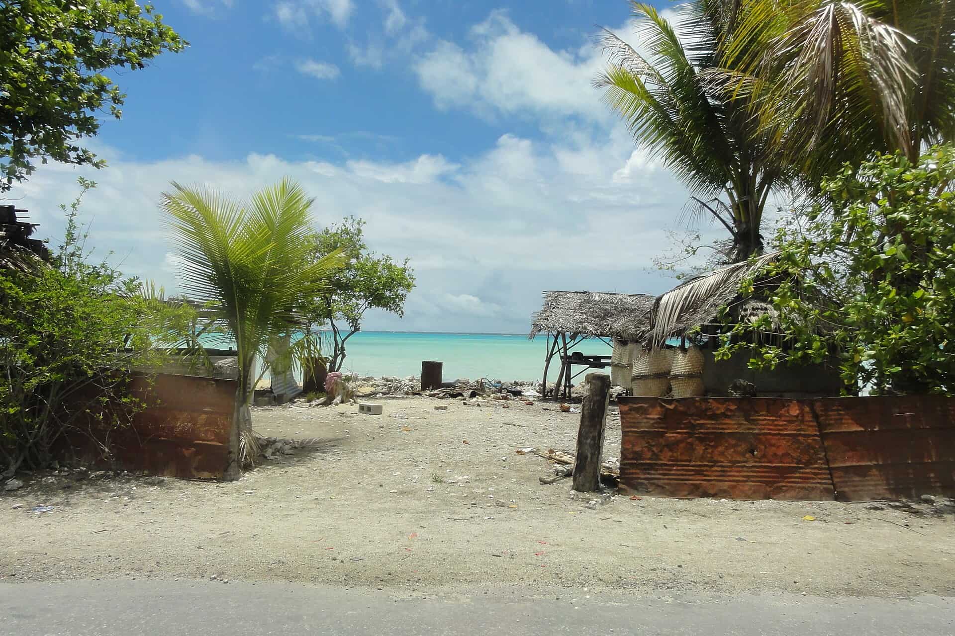
Kiribati, officially the Republic of Kiribati, is an island country in the Micronesia sub-region of Oceania in the central Pacific Ocean. The state comprises 32 atolls and other islands and one remote raised coral island, Banaba. Its total land area is 811 km2 (313 sq mi) dispersed over 3,441,810 km2 (1,328,890 sq mi) of ocean. The spread of the country's islands, from Banaba in the west to Kiritimati in the east straddles the equator and the 180th meridian. The International Date Line goes around Kiribati and swings far to the east, almost reaching 150°W. This brings Kiribati's easternmost islands, the southern Line Islands south of Hawaii, into the same day as the Gilbert Islands and places them in the most advanced time zone on Earth: UTC+14.
Nomad Score
5.3
Internet
75
Safety
40
Cost
50
Weather
60
Community
45
DROPTHE_ GOSSIP
Economy
$307,862,564 GDP, one of Micronesia's largest economies
Weather in South Tarawa
28C
Clouds
South Tarawa
73%
Humidity
12 km/h
Wind
Best Time to Visit
Jan
Feb
Mar
Apr
May
Jun
Jul
Aug
Sep
Oct
Nov
Dec
Visa Information
US Citizens
Visa Required
Practical Info
Power
240V
Tap Water
Use Bottled
English
Moderate
Driving Side
Right
Major Cities
Health & Safety
Healthcare
Limited
Emergency
112
Pharmacies
Available
Quick Facts
Area
811 km2
Calling Code
+686
TLD
.ki
Timezone
UTC+12:00
Embassy Info
Info
Find your embassy in Kiribati
Similar Destinations
Frequently Asked Questions
Is Kiribati good for digital nomads?
Kiribati has a Nomad Score of 5.3/10, ranked #205 worldwide. Average internet speed: 25 Mbps.
How fast is the internet in Kiribati?
The average internet speed in Kiribati is 25 Mbps download. May require a backup connection for heavy use.
When is the best time to visit Kiribati?
The best months to visit Kiribati are Jan, Feb, Mar, Nov, Dec.
Do I need a visa for Kiribati?
For US citizens: Visa Required.